Geography 211: Cartography
Joseph CocoGenitti
Western United States
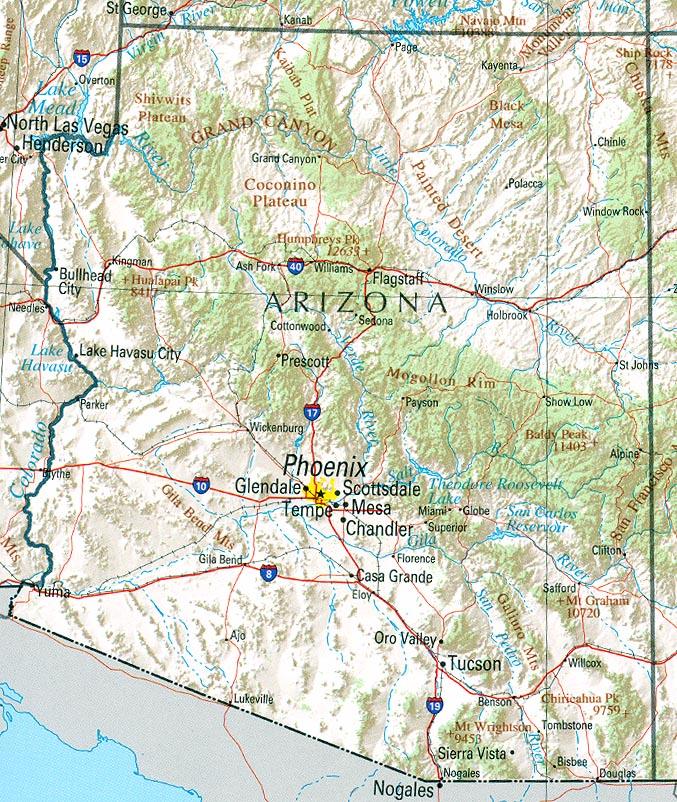
Colorado & Arizona
Sources of Data:
1900-1990
COLORADO: Population of
Counties by Decennial Census: 1900 to 1990
TXT file (saved as MS Word document)
ARIZONA: Population of Counties by Decennial Census: 1900 to 1990
TXT file (saved as MS Word document)
2000-2010
Census 2000 Data for the State of
Colorado (contains 2000 & 2010)
HTML file (saved as MS Excel document)
Census 2000 Data for the State of
Arizona (contains 2000 & 2010)
HTML file (saved as MS Excel document)
2015
Colorado
Counties by Population
HTML file (saved as MS Word document)
Arizona Counties by Population
HTML file (saved as MS Word document)
Information about States
Population Brief: Trends in the
Western US
Water and Population in the American
West
Western US Climate Historical
Summaries
Data Visualization: Western US
Demographics
Visualizing Environmental Trends: EcoWest


No comments:
Post a Comment